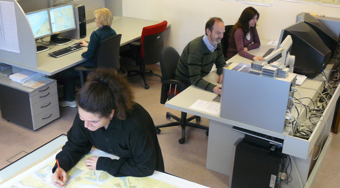
Ria Desnouck, cartographer with Coastal Division:
“Paper and electronic nautical charts for shipping can be compared to road maps and GPS for car drivers. The users can easily adjust paper charts themselves. Every other week they receive the ‘Notices to mariners’ summing up the alterations to the charts. Electronic charts are automatically adjusted. Because of alterations in depth to the seabed, we have to update the charts continuously. The construction of wind mill farms or works in the ports can also be cause for adjustments.”


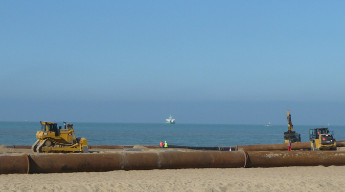

Protecting Belgium’s coast against flooding is without a doubt Coastal Division’s most important task. The division maintains dunes and dikes and raises beaches as a defence against the sea’s power.
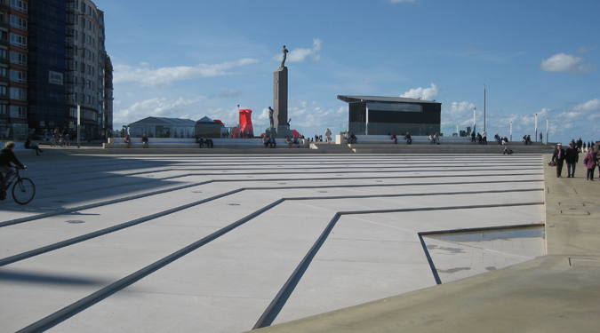
Next to coastal safety, the division also invests in coastal and water – related recreation. They construct, maintain and manage the marinas of Nieuwpoort, Oostende, Blankenberge and Zeebrugge and set up green areas there as well as foot – and cycling paths.
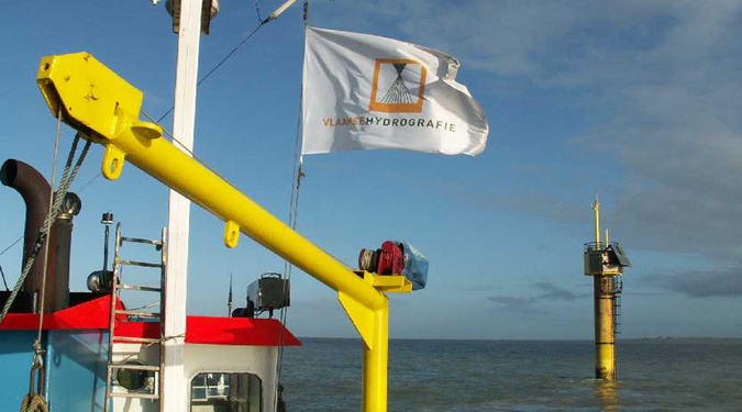
Flemish Hydrography, part of Coastal Division, produces the official nautical charts for the river Scheldt and the Belgian part of the North Sea, both the paper and the electronic version. Moreover, they publish nautical editions such as tidal charts and Notices to Mariners.
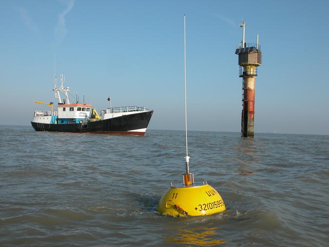
Flemish Hydrography also carries out soundings in the river Scheldt and on the Belgian part of the North Sea. Furthermore, they research the position of wrecks and study the seabed, the tides, the direction and height of the waves, the wind and the currents. They run the Network of Flemish banks, a network of sounding masts and buoys on the North Sea. With the assembled data they make up a specific weather forecast for the coast and the sea.
Coastal Division is part of the agency for Maritime and Coastal Services (MDK) together with Fleet, Pilotage and Shipping Assistance Division.